What Is a Nautical Chart?
The official language of depths, dangers and marks - a document that still pays to know how to read, even in the age of chartplotters.
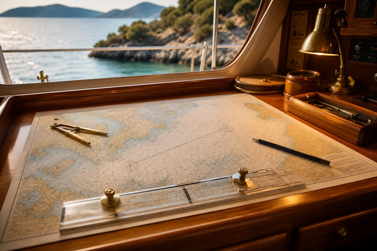
A nautical chart is the official navigational chart for sea areas: depths, seabed type, dangers, light characteristics and buoys are all shown in a single standard language. Electronic charts are derived from the same source data, so understanding the chart’s language means reading the screen properly too.
There are two critical points: chart datum and seabed-type abbreviations. Chart datum is based on the lowest expected water level; actual depth is often greater, but a falling tide and wind set can quickly eat into your margin in shallow water.
Reading points
Seabed abbreviations: S (sand) is inviting, M (mud) holds, R (rock) is a warning, wd (weed) is a reminder to check holding ground; that is the key to choosing an anchorage.
Danger symbols: Mistaking wreck, rock and shoal symbols is a classic error; an evening spent learning the symbols is a lifetime’s worth of benefit.
Updates: cartography that has not been touched for years will not show a buoy that has been moved or a new shoal; a chart is a maintenance item.
Minimum practice: keep an up-to-date paper chart of your area (Fethiye Gulf-Göcek) in a drawer, and make sure you have laid out at least one passage on it with dividers and parallel rulers. Muscle memory stops panic in an emergency. Whatever the screen shows, in shallow water your eyes and depth sounder have the final word.