What Is a Chartplotter?
A navigation computer that plots GPS position on an electronic chart — the screen where all the boat's sensors meet, and the answer to the question: 'won't a tablet do?'
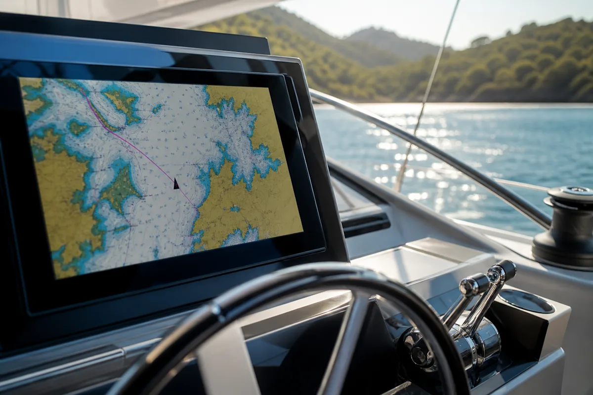
A chartplotter is a navigation display that shows GPS position on an electronic nautical chart and manages the route. Modern units bring the boat's data together over the NMEA2000 network — depth, wind, AIS, radar and engine — on one screen and feed routes to the autopilot.
To compare it fairly with a tablet, here's a side-by-side table.
Chartplotter - tablet
Feature | Chartplotter | Tablet |
|---|---|---|
Readability in bright sun | Built to be readable in full sun | The screen washes out |
Durability | Water- and shock-resistant | Shuts down when hot, fragile |
Integration | Fully integrated with the boat network | Limited |
Role | Primary device | An excellent backup and passage-planning tool |
The healthy setup is a three-part one: the main unit is the chartplotter, a current navigation app in your pocket (for backup and planning at home), and a paper chart of the area in the drawer. Out-of-date cartography won't know about new shoals or moved buoys; chart updates are a maintenance item.
Beware of overconfidence when zoomed right in: an electronic chart is not equally precise at every scale, and a narrow gap that looks 'clean' on screen may never have been properly surveyed on the source chart. No matter what the display shows, in shallow water your eyes and depth sounder have the final say.