What Is a GRIB File?
A data format that shows raw weather model output on a map with arrows - the behind-the-scenes engine of forecast apps, and a way to get weather with limited internet.
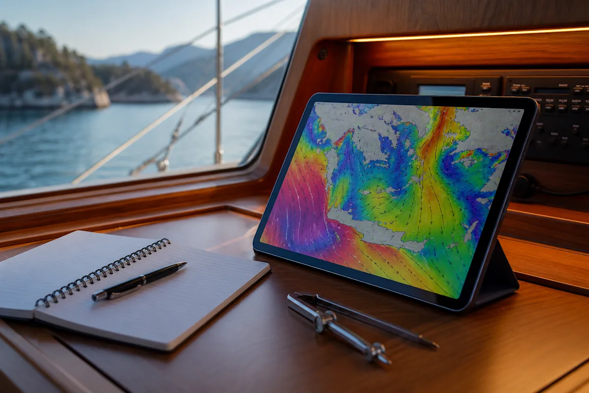
GRIB is a compressed data format that carries the raw output of meteorological models (global GFS and ECMWF, regional models): wind arrows, pressure, wave and rainfall layers are played back hour by hour on a map. That is essentially what popular boating apps are showing.
It has two practical uses: comparing models and saving data.
How to use
Model comparison: if GFS and ECMWF are telling different stories for the same day, the forecast is uncertain and you should build in more margin; if they agree, confidence is higher.
Data savings: a GRIB file is small and will download even on a weak GSM signal.
Resolution limit: global models cannot resolve the local effects in Göcek's narrow bays (venturi, mountain wind drainage), so arrows close to the shoreline should be treated with caution.
Simple routine: before anchoring in the evening, check the two models for tomorrow's wind by the hour, then look again after the morning update. If severe weather is suspected, the order is: model agreement, official warning, local observation (cloud, pressure, the look of the sea). The model gives the big picture; local knowledge fills in the reality inside the bay.